Did You Know?

Understanding GNSS vs. RTK for Dredging Operations

Understanding GNSS vs. RTK for Dredging Operations

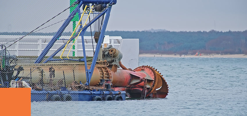
Positioning data drives every cut a dredge crew makes. Yet standard Global Navigation Satellite System (GNSS) positioning often reports a location several meters away from the cutterhead’s actual position. The accuracy gap may sound technical, but the costs show up as real-world rework, compliance failures, and margin erosion.  Real-time kinematic (RTK) positioning closes that gap […]

Understanding GNSS vs. RTK for Dredging Operations Read More »
How Multibeam Sonar Works and When to Use Single Beam

How Multibeam Sonar Works and When to Use Single Beam 

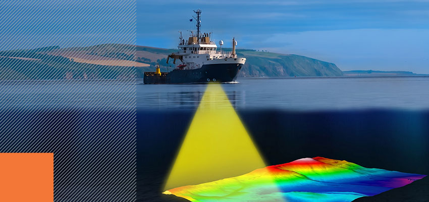
For survey supervisors and procurement specialists, sonar selection is a decision with project-wide consequences. Survey conditions and project requirements, not technological advancement alone, determine the right choice for your needs.  Single-beam sonar operates along a single track line and sends one ping at a time, measuring depth at one position. Multibeam sonar, by contrast, captures

How Multibeam Sonar Works and When to Use Single Beam  Read More »