



Single Beam Echo Sounder Applications in Marine Construction
CEE HydroSystems echo sounders are designed to work with leading hydrographic software packages, such as Trimble Marine Construction and HYPACK®. This provides a versatile solution for various applications:
Marine construction and dredging
Our single-beam echo sounders provide critical data for pre- and post-dredge surveys, volume calculations, and progress monitoring.
Hydrographic and bathymetric charting
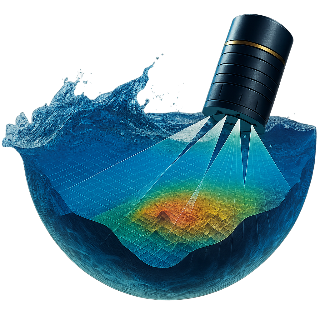
Our single-beam echo sounders help in creating seafloor maps for navigation, research, and environmental management using bathymetric sonar.
Infrastructure inspection
Our single-beam echo sounders are used for inspecting scour conditions near bridge pilings, seawalls, and other underwater structures.
Marine construction and dredging
Our single-beam echo sounders provide critical data for pre- and post-dredge surveys, volume calculations, and progress monitoring.
Hydrographic and bathymetric charting
Our single-beam echo sounders help in creating seafloor maps for navigation, research, and environmental management using bathymetric sonar.
Infrastructure inspection
Our single-beam echo sounders are used for inspecting scour conditions near bridge pilings, seawalls, and other underwater structures.
Key Specifications for Demanding Marine Environments
Browse the key performance metrics for each CEE HydroSystems model to help you select the right tool for your survey requirements.
| CEE-LINE™ | CEESCOPE™ | CEE ECHO™ | |
| Frequency Range | Single or dual frequency | Dual frequency | Dual frequency |
| Depth Range | 0.3m to 100m | 0.15m to 200m | 0.15m to 200m |
| Beam Width | 3° to 24° | 3° to 24° | 3° to 24° |
| Data Output Formats | NMEA 0183, DESO, ODOM, SonarMite, CEESTAR |
NMEA 0183, HYPACK®, Trimble Marine Construction |
NMEA 0183 (Simplified) |
| IP Rating | IP68 | IP67 | IP67 |
Frequently Asked Questions About Our Single Beam Echo Sounders
Single beam echo sounders transmit one narrow sonar pulse directly downward, ideal for precise depth measurements along a survey line. Multibeam systems capture wider swaths but require more data processing.
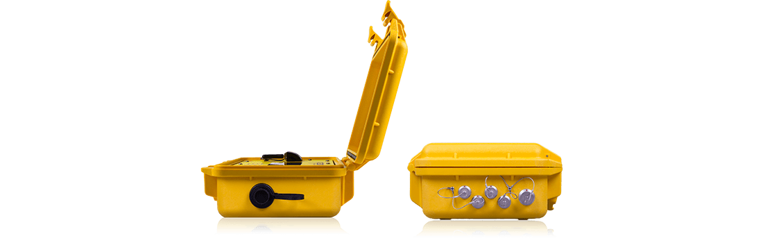
The CEE-LINE™ and CEE ECHO™ are both ideal for dredging. The CEE-LINE™ offers rugged, dedicated survey performance, while the CEE ECHO™ provides portability and dual-frequency capability.
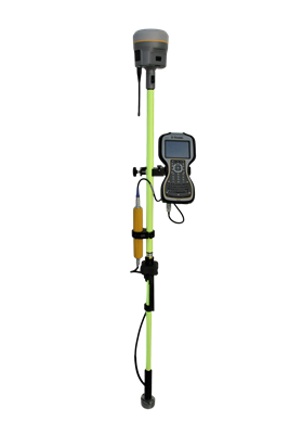
Yes. The CEESCOPE™ is our most popular hydrographic platform, combiningintegrated GNSS and single beam sonar in one portable system.
Our single beam echo sounders support depths from shallow water surveying to deep ocean applications. See our specifications table above for exact depth ranges for each model.
Yes. Measutronics provides practical instruction to help you master your work environment. Contact us to schedule hands-on training with our team of specialists.
Single beam echo sounders transmit one narrow sonar pulse directly downward, ideal for precise depth measurements along a survey line. Multibeam systems capture wider swaths but require more data processing.
The CEE-LINE™ and CEE ECHO™ are both ideal for dredging. The CEE-LINE™ offers rugged, dedicated survey performance, while the CEE ECHO™ provides portability and dual-frequency capability.
Yes. The CEESCOPE™ is our most popular hydrographic platform, combiningintegrated GNSS and single beam sonar in one portable system.
Our single beam echo sounders support depths from shallow water surveying to deep ocean applications. See our specifications table above for exact depth ranges for each model.
Yes. Measutronics provides practical instruction to help you master your work environment. Contact us to schedule hands-on training with our team of specialists.
Contact Us!
Request a Quote for Your Hydrographic Single Beam Echo Sounder
Measutronics handles the full integration, from vessel measure-up to final calibration, for a turnkey solution. We have extensive expertise in installing, training, and troubleshooting your hydrographic echo sounder system.
Get a fully integrated and supported hydrographic survey system tailored to your project needs. Contact us to get started today.
Contact us online for a consultation or demo.