
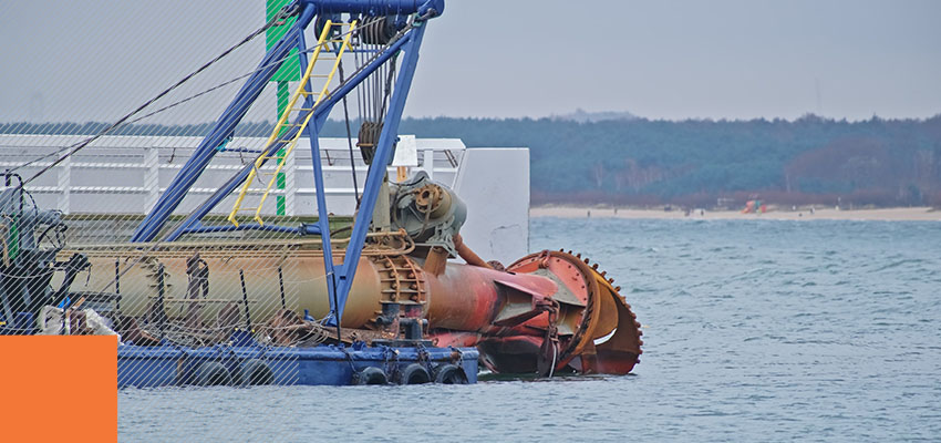
Positioning data drives every cut a dredge crew makes. Yet standard Global Navigation Satellite System (GNSS) positioning often reports a location several meters away from the cutterhead’s actual position. The accuracy gap may sound technical, but the costs show up as real-world rework, compliance failures, and margin erosion.
Real-time kinematic (RTK) positioning closes that gap from meters to centimeters through continuous correction. Understanding GNSS vs. RTK positioning helps marine construction professionals determine when RTK correction becomes a production necessity rather than a premium option.
Why Standard GNSS Positioning Isn’t the Best Choice for Precision Dredging
Standard GNSS handles open-water navigation well, though its accuracy ceiling can become a challenge when tolerances tighten. The gap shows up in both channel geometry and the economics of getting a cut right.
What Standard GNSS Accuracy Means for Confined Channel Dredging
Uncorrected GNSS delivers horizontal accuracy of up to five meters without any enhancement. Differential correction narrows that range to between 0.5 and two meters, reflecting local Differential Global Positioning System (DGPS) performance under good conditions. Neither range meets the precision a 15-meter-wide channel demands. At a structural boundary or permitted dredge limit, even a 1-meter error carries consequences.
A cutterhead positioned two meters off-target can breach a permit boundary or leave material outside the planned excavation zone. In confined navigation channels where vessels pass with minimal clearance, position uncertainty creates control problems that need systematic correction. The tolerance for error shrinks as channel width decreases and industry dredging accuracy requirements continue tightening.
The Real-World Cost of Positioning Errors in Dredging Operations
Positioning accuracy connects directly to profitability on dredging projects.
- Underdredging: Material left in the cut forces a return pass, adding vessel time, fuel consumption, and schedule days to the project.
- Overdredging: Volume removed beyond the contract limit goes unpaid and may require additional hydrographic survey work to document compliance with applicable positioning standards.
How GNSS Positioning Works in Marine Environments
GNSS is the foundational positioning layer every marine operation builds on. The question isn’t whether to use RTK instead of GNSS. The relevant question is when RTK correction adds production value. Here’s how GNSS works in marine environments.
Satellite Triangulation Basics
A GNSS receiver calculates position from signal travel time across several satellites at once. More satellites in view produce a stronger fix. Modern multi-constellation receivers track Global Positioning System (GPS) from the United States and Global Navigation Satellite System (GLONASS) from Russia, as well as Galileo from the European Union and BeiDou from China.
Signal availability from multiple constellations improves position consistency across different latitudes and times of day. GNSS’s triangulation basics establish the baseline that RTK corrects.
Where Standard GNSS Reaches Its Limits Offshore
Accuracy degrades due to atmospheric interference, shifting satellite geometry, and signal multipath from nearby structures. Multipath occurs when satellite signals reflect off metal surfaces before reaching the receiver antenna. These reflections cause position errors that appear random but follow predictable patterns near port infrastructure and construction barges.
Combining GNSS with inertial navigation systems smooths motion during outages by filtering motion data and applying offsets during dynamic operations. The errors aren’t random failures but consistent limitations that real-time kinematic positioning systems address in marine environments.
What RTK Positioning Adds to GNSS for Dredging Operations
RTK builds on GNSS by delivering real-time corrections that significantly close the accuracy gap. Here’s how an RTK positioning system can help.
Base Station Corrections and Centimeter-Level Accuracy
A base station at a surveyed location compares its known position against incoming satellite signals. The station calculates the difference between the reported position and actual position, then transmits that correction to RTK positioning receivers mounted on the dredge.
The rover receiver applies the correction in real time and achieves a horizontal accuracy of just a few centimeters during active operations. Field testing in good conditions shows single-digit centimeter horizontal and vertical uncertainty, supporting work where dredging accuracy requirements demand tight positional tolerances.
Real-Time Corrections vs. Post-Processing
RTK delivers corrections while the dredge cuts, allowing operators to adjust depth and heading as they’re working. Post-processed kinematic positioning corrects data after collection, serving as validation rather than live guidance.
For RTK positioning in dredging operations, real-time correction is the production standard. Cutterhead placement depends on position feedback that operators can act on immediately.
Purpose-built software like Trimble Marine Construction integrates RTK data with depth sensors, heading sensors, and motion compensation. The system delivers guidance during active dredging rather than survey data reviewed after the fact.
GNSS vs. RTK Comparison
Standard GNSS measures in meters. RTK measures in centimeters, corrected in real time. Their differences prove that they’re both suited to specific purposes.
| System | Horizontal accuracy | Vertical accuracy | Correction method | Primary dredging use |
|---|---|---|---|---|
| Standard GNSS | Up to five meters | Not corrected/meter-level | None, stand-alone satellite signal | General navigation, vessel tracking |
| RTK | Roughly 1-2 centimeters | Single-digit centimeters in good conditions | Real-time base station (or network RTK) correction | Production dredging, environmental compliance, and hydrographic survey |
When RTK Positioning Becomes Essential for Marine Construction
Some dredging applications require centimeter-level accuracy on every pass. In those cases, meter-level positioning creates compliance risk and margin loss that erodes profitability on already thin-margin projects.
Dredging Applications That Demand RTK Positioning Accuracy
RTK is a must for accurate, high-quality work in:
- Environmental dredging requires cutterhead placement within the permitted boundary and alignment with regulatory requirements throughout the excavation.
- Channel deepening needs consistent depth and position feedback across the cut width to maintain design grade without leaving material or removing excess volume.
The IHO accuracy standards set tight positional tolerances for high-order surveys. Well-configured RTK systems help dredging crews stay within those limits, particularly on projects with strict depth and boundary controls.
How RTK Positioning Reduces Rework and Dredging Project Costs
RTK protects against the two biggest cost drivers — rework from material left in the cut and unpaid volume from cuts that exceed contract depth. A crew working with centimeter-level data dredges to specification on the first pass, saving fuel and vessel time.
Tighter depth control protects your margins by reducing rework volume in dredging operations. Fewer survey disputes arise when position and depth data meet hydrographic standards from the start, cutting your costs and accelerating project closeout.
Getting Started With RTK Positioning for Dredging
RTK hardware delivers centimeter-level accuracy on paper, but integration and commissioning make the system hold up in the field. The right infrastructure and the integration behind the hardware are what drive success.
Infrastructure Required for an RTK System
A working RTK setup starts with a base station at a surveyed location and a dual-antenna rover for position and heading. The system also needs a real-time data link over radio or cellular, plus a receiver applying corrections to the dredge guidance display.
Network RTK over cellular can replace a dedicated base station on some sites, reducing setup time and eliminating the need for local base station maintenance. The receiver communicates with onboard systems, including heading sensors, depth transducers, motion compensation units, and tide gauges, to deliver complete positioning data that the crew can act on.
Why Integration and Commissioning Determine RTK Performance
Hardware is only half the equation. A dredge-mounted receiver synchronizes with guidance software and a sensor array, calibrated before production begins. Proper calibration turns capable hardware into guidance that a crew can use with confidence.
The Measutronics crew designs and integrates complete marine survey and guidance systems, then calibrates each one for the conditions and equipment configuration the project demands. Calibration accounts for antenna offsets, vessel motion, sensor alignment, and local geodetic parameters, turning RTK’s potential into results that marine construction professionals trust.

Get Started With Measutronics
Your next step toward higher accuracy is having a conversation with a crew that has been designing and integrating complete marine positioning systems since 1997. Measutronics holds Trimble marine dealer status and serves as a U.S. Army Corps of Engineers-authorized Dredging Quality Management provider.
Reach out and start the conversation about RTK positioning systems built for the accuracy and reliability demands of marine construction and dredging operations.