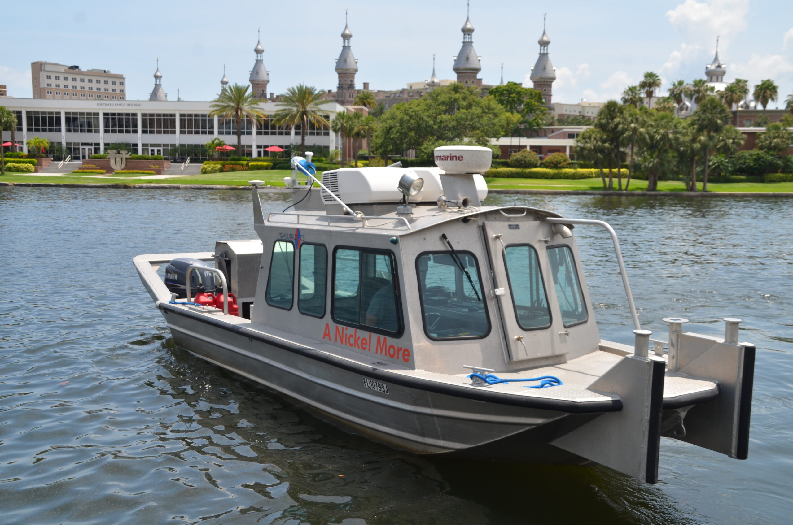
When Precision Results Matter, Choose Measutronics to Integrate Your Hydrographic and Bathymetric Survey Gear
Empower your marine operations with advanced positioning, sonar, and imaging technologies. From precise depth measurements to detailed bottom mapping and underwater feature identification, our systems provide the critical insights project teams need to succeed in subaqueous operations.
By integrating GNSS, inertial navigation, and sonar technologies, Measutronics equips marine crews with comprehensive situational awareness — reducing risk and improving project outcomes.
Whether a single beam vessel or a custom barge-mounted mechanically scanning sonar, our solutions transform scattered data streams and patchwork survey setups into a single, clear picture of the underwater environment. From initial vessel preparation to expert installation and calibration, we specialize in the seamless integration of hydrographic and bathymetric survey equipment to any vessel or project scope.
Hydrographic Equipment Applications
Integrating hydrographic equipment with your vessel unlocks a world of possibilities beneath the water’s surface. Whether constructing critical infrastructure, navigating waterways, or protecting this delicate ecosystem, hydrographic survey equipment provides the data you need.
Our highly skilled technicians can integrate various hydrographic gear customized for your project, whether that’s:
- Mapping and charting: Generate detailed maps and charts of the lake bottom, riverbed, or seafloor and underwater features for better project design and hazard identification.
- Infrastructure inspection: Integrated sonar and 3D imaging systems allow you to inspect underwater infrastructure, such as bridges, piers, and seawalls, detecting early signs of damage and wear for improved maintenance & safety.
- Environmental monitoring: Collect high-resolution data on aquatic habitats, including water depth and sediment movement.
Our Marine Survey Vessel Integration Solutions
Measutronics offers a comprehensive suite of hydrographic survey equipment integration services. With deep expertise in integrating equipment across a variety of survey vessels and applications,, our experienced technicians ensure every system is set up for optimal performance — delivering scalable solutions that adapt to projects of any size. Our customized system designs provide seamless data flow and reporting regardless of the complexity of your application.
Our hydrographic surveying solutions encompass the following:
Vessel Measure-Ups
Integrating hydrographic survey equipment begins with the initial installation and setup. Professional installation ensures longevity of cabling and hardware, maximizing your financial investment. Whether outfitting a small survey boat or a complex barge-mounted system, our technicians meticulously measure and document the vessel’s physical dimensions and layout. They then locate the mounting points and sensor positions, relative to the vessel, to ensure a seamless installation process. This measure-up procedure optimizes the performance of your equipment, enabling you to provide the best deliverables possible.
System Installation
Measutronics brings in-depth technical expertise to install a wide range of hydrographic surveying systems from leading, field-proven brands. This ensures data collected by sonar and other survey instruments is correctly georeferenced by the vessel’s true position and orientation. Our professional installation services eliminate some of the most common sources of error, such as misaligned sensors or offset calculations — ensuring your project is up and running expeditiously and your equipment is working up to specifications.
Let our team ensure every component is properly configured for optimal performance. We expertly install the following hydrographic surveying equipment and other imaging technology:
- Single beam sonar systems
- Multibeam sonar systems
- Mechanically scanning sonar systems
- Marine laser scanners and LiDARs
Precise Calibration and Fine-Tuning
Even the most advanced hydrographic equipment is only as good as its calibration. Once installed, we offer meticulous calibration and fine-tuning solutions for every system integrated. Depending on your vessel, our services may include:
- Aligning sensors
- Setting reference points
- Project start-up assistance
- Environmental and vessel-specific adjustments
- Patch testing
- Performance verification
Our calibration and fine-tuning services help ensure that the hydrographic equipment on your vessel delivers trustworthy, quality data for confident decision-making in the field. Our installations include a written report capturing all pertinent offsets, communications settings and other pertinent details.
Operator Training for Survey Equipment
Measutronics provides operator training to help your team utilize cutting-edge positioning, sonar, and imaging equipment. In addition to practical instruction delivered on-site at project startup or remotely as required, our regularly scheduled courses help operators master the skills they need to integrate these advanced technologies into their workflow.
Why Integrated Hydrographic Survey Equipment Matters for Marine Operations
The marine construction and dredging sectors rely heavily on advanced hydrographic equipment. Integrated sonar and 3D imaging systems are indispensable tools, empowering both operators and managers to achieve project success and offering numerous advantages to maritime projects, including:
- Operational efficiency: Real-time guidance, powered by sonar and 3D imaging data, enables crews to make immediate adjustments based on live scans. This minimizes guesswork and optimizes project considerations like equipment usage and vessel movement.
- Improved compliance: Precise information helps ensure work is performed to project specifications, allowing teams to meet contractual and regulatory requirements and reducing the risk of costly rework.
- Reduced rework: Timely validation data minimizes the need for repeat surveys or corrective actions to keep projects on schedule.
Choose Measutronics for Hydrographic Survey Systems Integration
With decades of industry knowledge and a commitment to delivering a comprehensive experience, Measutronics is your partner for surveying, mapping, and navigation equipment and services. From initial consultation to ongoing support, we take the time to understand your operational needs so that we can empower your team with tailored solutions.
Here’s how we stand out as a key provider of specialized marine equipment and technical expertise:
- Proven experience: Our team brings decades of experience in successful system integrations across a wide range of project scopes. From civil works to military programs, we blend a wide range of knowledge in surveying, construction, electronics, mechanical, and marine technology.
- High-quality equipment: We sell and support equipment from innovative, field-proven brands to deliver reliable, high-performance solutions that meet the demands of modern marine operations. This includes hydrographic equipment from Trimble, NORBIT, Applanix, CEE HydroSystems and HYPACK.
- Hands-on training: We do more than install equipment — we empower your team. Our experienced technicians provide practical instruction and on-water demonstrations to ensure operators understand how systems enhance workflows in real-world applications.
- Rental options: If you need hydrographic surveying for a short-term project, we offer flexible rental terms to keep your operations running smoothly and cost effectively.
- Reliable results: Equipment and systems are thoroughly tested before delivery, ensuring a seamless system integration done right the first time.
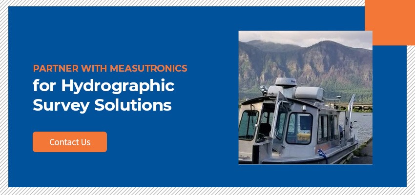
Partner With Measutronics for Hydrographic Survey Solutions
For high-precision marine sonar and 3D imaging solutions, turn to the trusted professionals at Measutronics. We expertly integrate hydrographic and bathymetric survey technologies into a complete system that enhances the accuracy, efficiency, and safety of your operations.