POSPac Software

POSPac is the industry-leading software for post-processing Applanix survey data, turning raw GNSS and inertial measurements into precise georeferenced data. With Measutronics, achieve industry-leading precision and efficiency, reducing costly errors and saving valuable project time. This software is the key to unlocking reliable, robust, and repeatable results for a wide range of marine applications.
Contact Us

Advanced Features for Hydrographic Survey Software

The POSPac Mobile Mapping Suite (MMS) from Applanix transforms raw sensor data into survey-grade georeferenced outputs by fusing GNSS positioning with inertial measurements. Marine surveyors rely on this post-processing software to integrate data from diverse mapping sensors while maintaining centimeter-level precision. The latest version introduces POSPac GO!, enabling faster processing workflows when project schedules demand quick delivery of high-accuracy results.

Some additional features include:

Lightbulb With Circular Arrow Icon

IN-Fusion+ technology

The tight coupling of GNSS and inertial data delivers a smooth and precise trajectory even in poor signal environments.

Wrench and Screwdriver Icon

Automated processing

The intuitive, wizard-based workflows in POSPac software reduce manual effort and the potential for human error during GNSS inertial processing.

Star Badge Icon

Quality control

This software offers built-in tools for data analysis and quality control, giving users greater confidence in their final deliverables.

Key Applications for Marine Professionals

Applanix POSPac software is versatile across several industry applications, including seafloor mapping, coastal zone monitoring, dredging operations, and offshore construction. For any task requiring precise orientation and positioning, POSPac provides the trusted framework for success.
Core Technical Specifications

Key performance metrics for this marine survey post-processing software include:

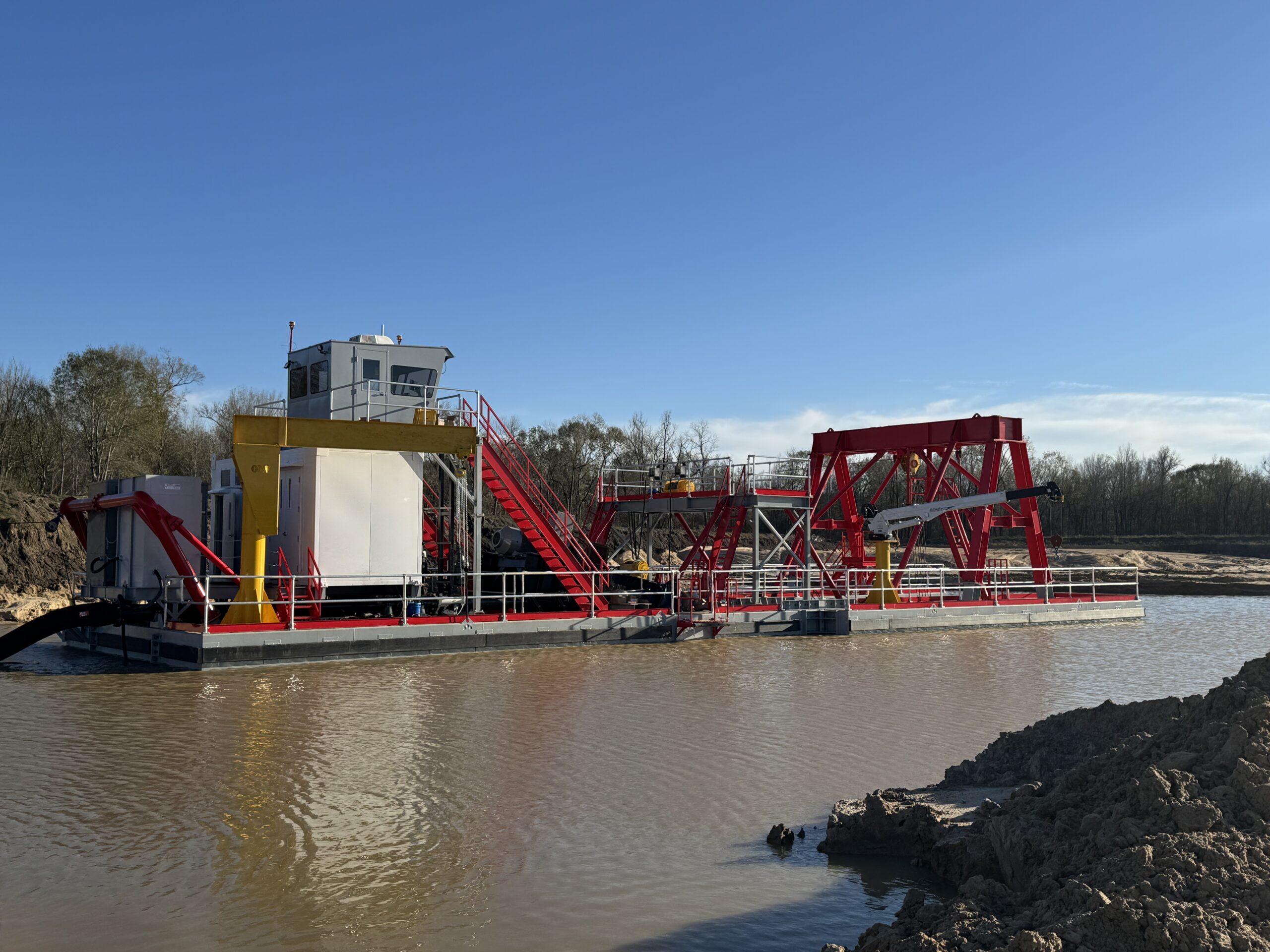
Harrington Dredge With Red Spud Carriage

Positioning accuracy

This software can achieve centimeter-level positioning accuracy, ensuring survey-grade results.

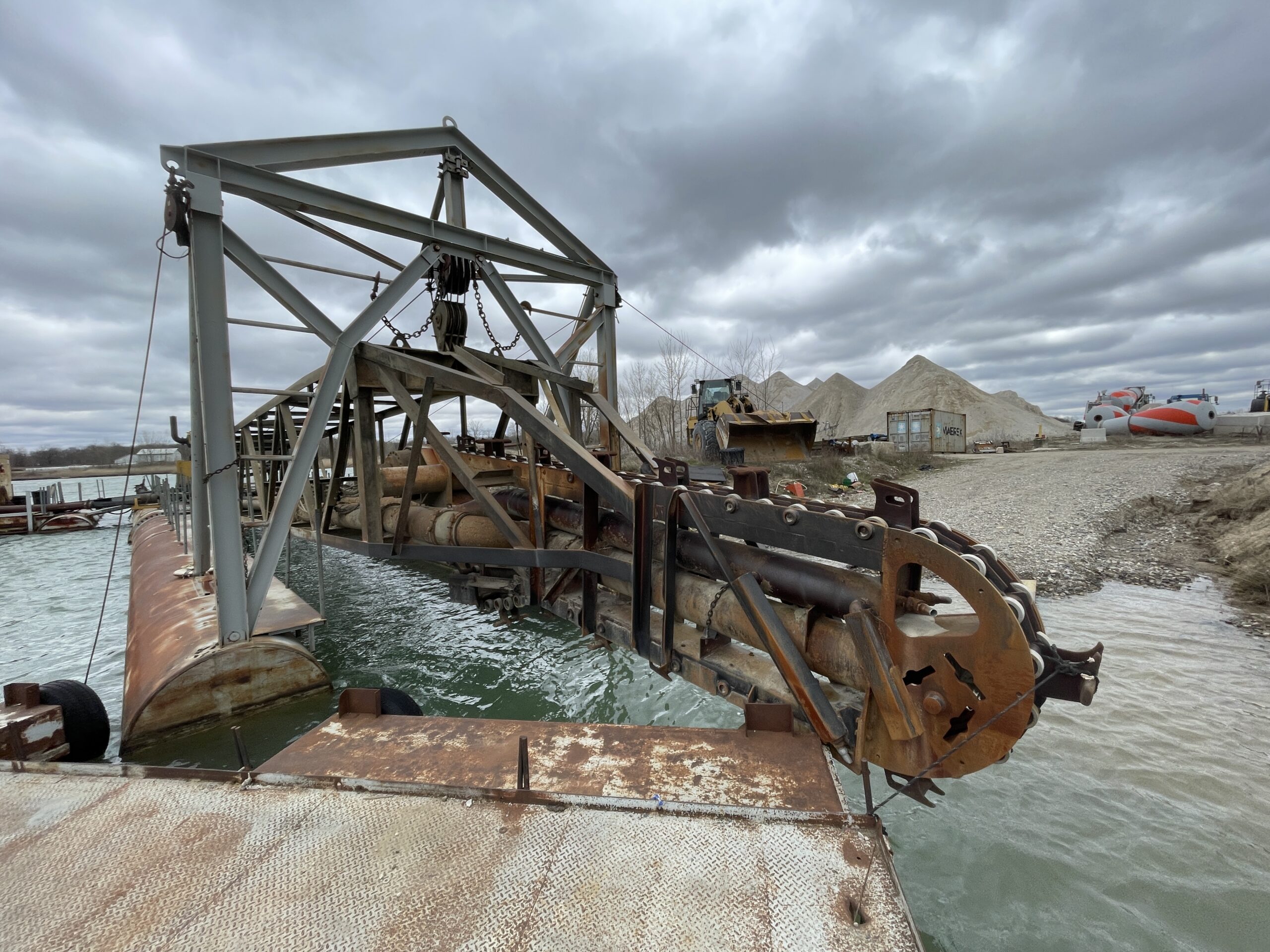
Chain Ladder Dredge Head-On From Water

Orientation accuracy

POSPac delivers industry-leading roll and pitch performance for precise sensor orientation.

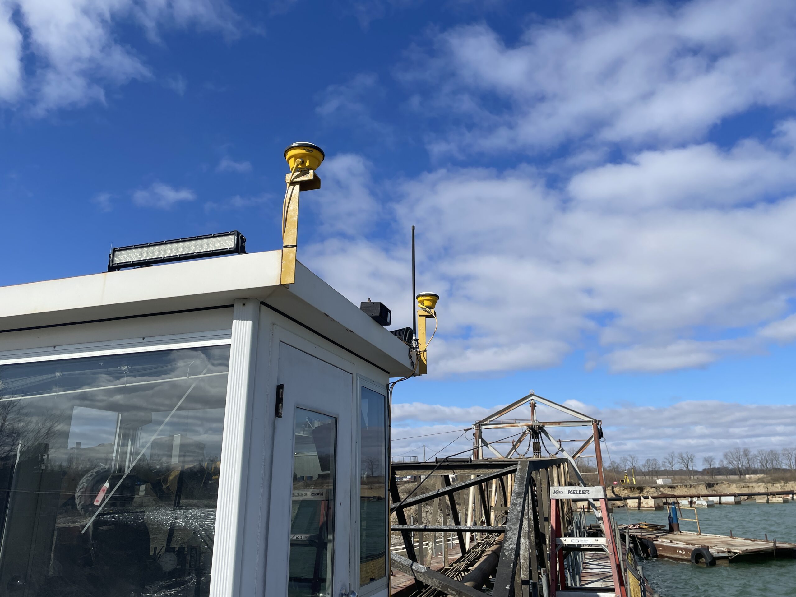
GNSS Antennas On Chain Ladder Dredge

Heave performance

TrueHeave™ technology calculates accurate heave data in real time and post-processing with no filter tuning required.

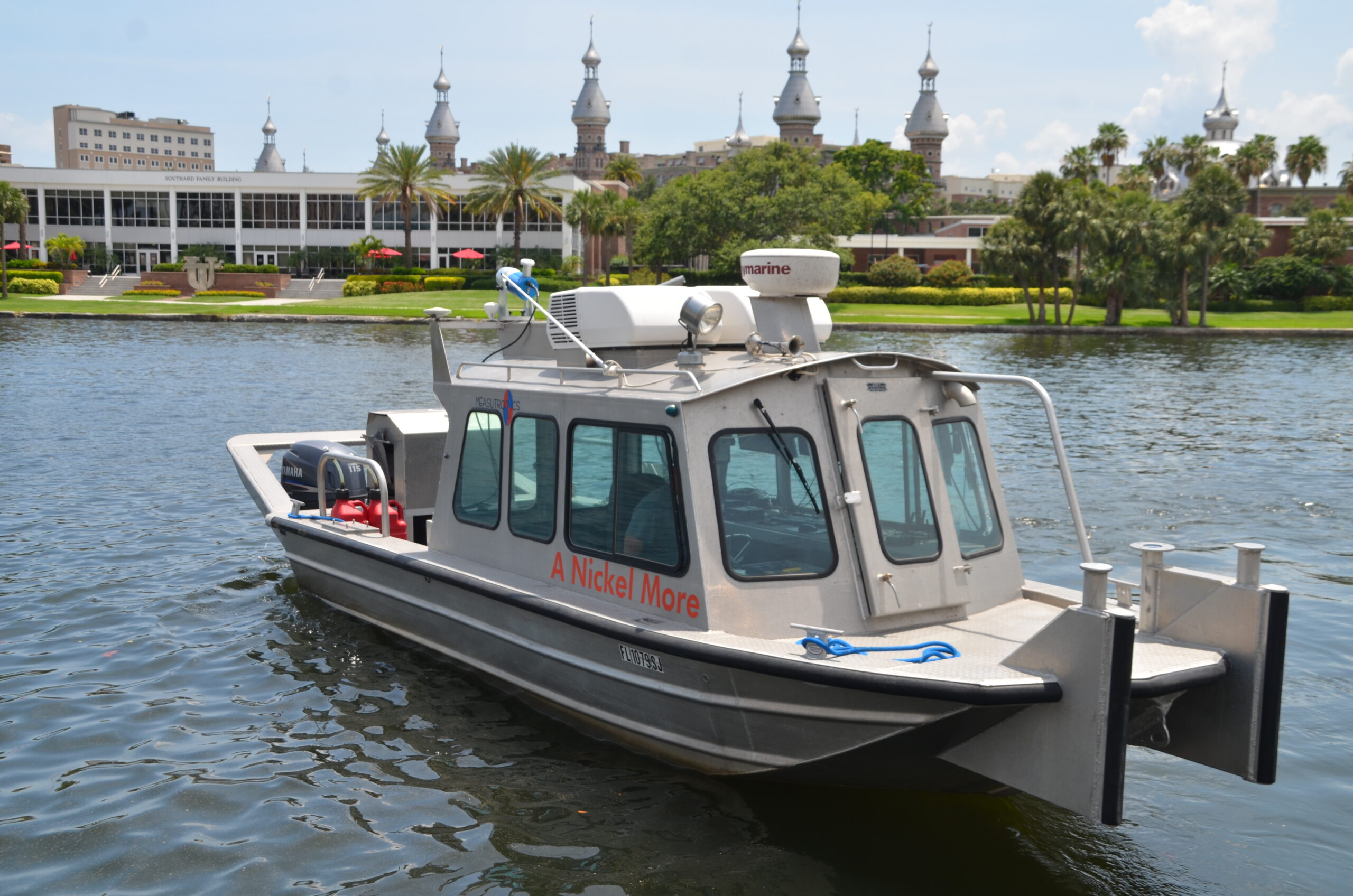
Survey Vessel A Nickel More At Tampa

Processing modes

Several GNSS processing models are available, including Single Base, Multi-Base, and Trimble's advanced PP-RTX for processing without a base station.

Maximize Performance with Measutronics’ Integration

This software’s true power is unlocked with expert integration from Measutronics. We offer hands-on training, system configuration, and dedicated support from technicians who use this software in the field. When you choose the POSPac MMS through Measutronics, you’re entering into a partnership that helps you get the maximum return on your investment.

Contact Us!

Start Processing Data with Confidence

Streamline your survey workflows with professional-grade software from Measutronics. Contact us to discuss your project needs and get a detailed quote for a complete POSPac software solution today.

Contact us online for a consultation or demo.