Measutronics offers a variety of Software Solutions for marine construction and hydrographic surveying including data acquisition, guidance, post-processing, and more.
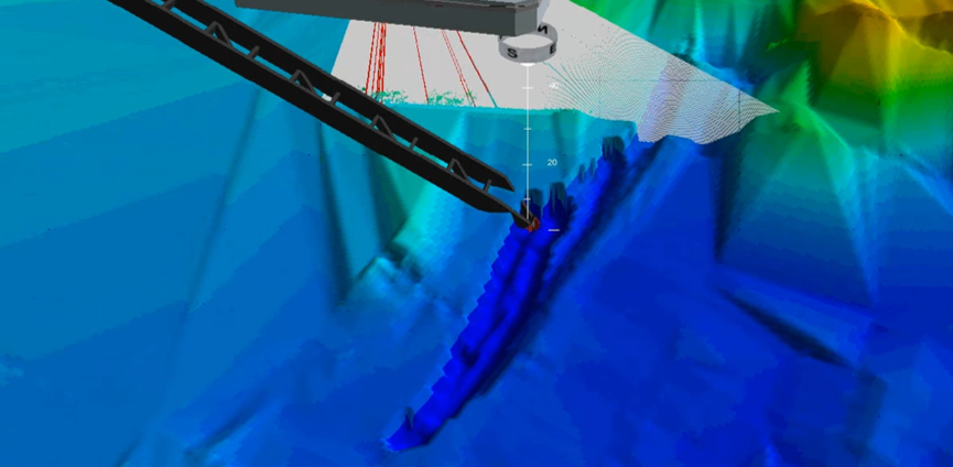
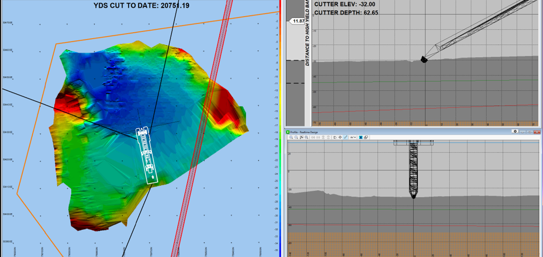
Trimble Marine Construction (TMC) software is a multipurpose platform that offers a broad base of functionality within dredge guidance and marine construction solutions. It interfaces with the latest Trimble Marine Construction systems & sensors to provide a robust construction guidance solution. TMC also interfaces with a wide range of 3rd party survey instrumentation such as GNSS receivers, totals stations, tide gauges, singlebeam & multibeam echosounders as well as many other sensors.
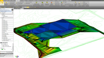
Trimble Business Center – TBC is an easy-to-use graphical software ideal for preparation and management of data for marine construction and dredging projects. It also interfaces directly with Trimble’s Asset Surveyor GCS900 software to create line files and design data.
Applanix POSPac Mobile Mapping Suite

POSPac Mobile Mapping Suite is Applanix’s next generation, industry-leading software for direct georeferencing of mobile mapping sensors using GNSS and inertial technology. Compatible with a variety of mapping sensors, this smart software solution achieves both maximum accuracy and maximum efficiency for direct georeferencing.
HYPACK and HYSWEEP

HYPACK® provides all of the tools necessary to complete your hydrographic, side scan and magnetometer survey requirements. HYSWEEP® is an optional module that provides for the calibration, data collection and data processing of multibeam sonar data inside the HYPACK® package.